Detection Systems · Radar
IRIS
3D Drone Detection Radar

Manufacturer
Robin Radar Systems
Netherlands
- Product Category
- Detection Systems · Radar
- Product Maturity
- Fielded
- Operational Applications
- Base Protection
- Critical Infrastructure Protection
- Operational Regions
- North America
- Europe
Description
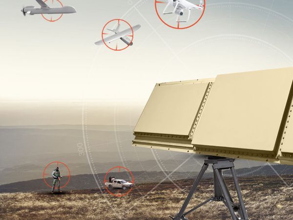
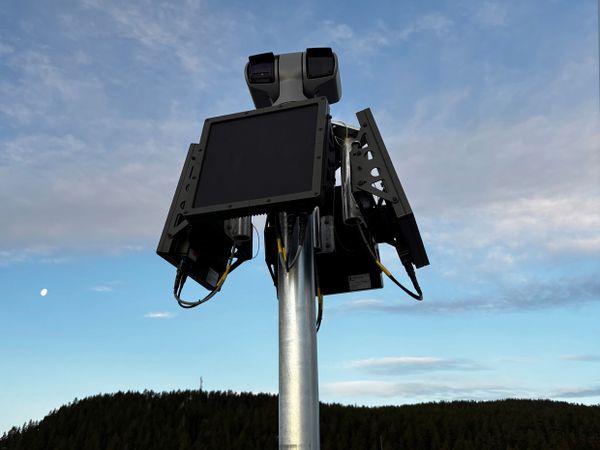
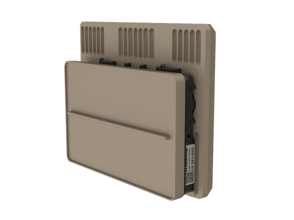
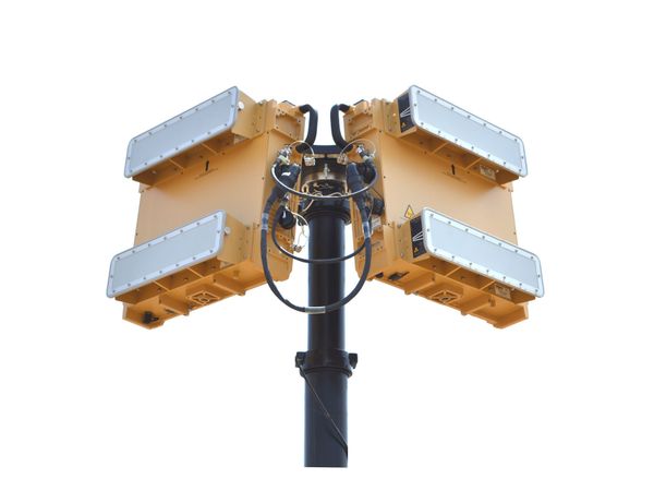
Spot drone threats before they escalate. IRIS combines micro-doppler classification, deep neural network (DNN) technology, and on-the-move (OTM) capability for 360°, 3D coverage in one small but mighty package. IRIS can be deployed by a single hands-on operator on tripods, buildings or vehicles in under 15 minutes. Leading detection meets accurate tracking and classification in a lightweight system of 29 kg (64 lb) that deploys rapidly. Mission-proven worldwide, expect seamless C2 integration, minimal installation effort, and intuitive operation. With mightily low SWaP (Size, Weight and Power), IRIS combines 360° azimuth, 60° elevation, and a 5 km (3.1 mi) instrumented range to give you a 78 km2 (30.1 mi2) coverage area. In addition, IRIS Long-Range Mode (LRM) offers the option to switch between 5 km (3.1 miles) and 12 km (7.45 miles) instrumented ranges in minutes.
Specifications
| Frequency Band | X-Band |
|---|---|
| Power Output | 2x 12 w |
| Scan Speed | 30 rpm / 1.0s |
| Instrumented Range | 5 km |
| Azimuth Coverage | 360-degrees |
| Elevation Coverage | 60-degrees |
| Dimensions | 550 mm diameter x 630 mm height |
| Weight | 29 kg |